AGRICULTURE
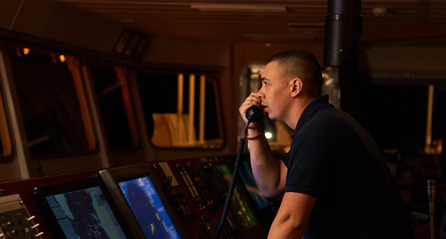
It is critical for navigators and engineers to have confidence in their position when conducting seismic exploration. The redundancy of the Veripos network as well as the robustness of our technology provides the reliability and accuracy needed to explore the ocean depths.
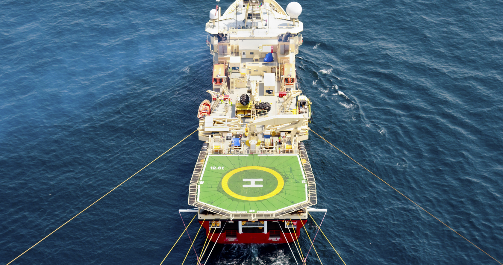
Veripos positioning systems are used extensively, on a range of seismic acquisition vessels, to assist with operations collecting 2D, 3D, 4D or wide azimuth data. Our technology provides users with real-time information on their position by calculating the vessel’s speed, heading, roll, pitch and yaw. We use seven delivery beams and a range of positioning algorithms that operate independently of each other to ensure confidence in the reliability of the position information. The integration of this information prevents vessels from drifting off course, allowing users to confidently collect data from the correct location of the sea floor.
Veripos offers training courses to help your team learn about our technology and ensure its capabilities are maximised for your application. If difficulties arise on site, our support team is available for 24/7 support. To ensure new installations go smoothly, experienced technicians are available to assist with installing Veripos technology on the vessel.
Contact sales for product and service inquiries.
Contact support to speak with an expert technician available 24/7.