AGRICULTURE
Every GNSS signal travels through the ionosphere to reach user equipment. As these signals travel thousands of kilometres, ionospheric activity risks degrading signal strength and overall quality. How can users ensure their dynamic positioning, surveying and other marine applications are resilient against potential ionospheric interference?
In this blog post, we explain what the ionosphere is, how it affects GNSS signals, and what users can do to strengthen their systems against positioning errors caused by ionospheric activity.
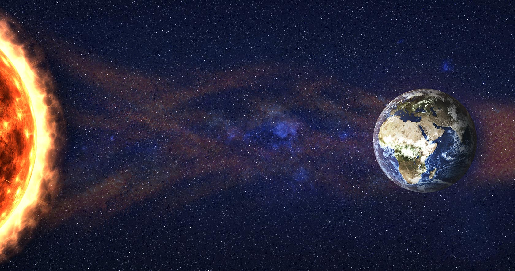
The ionosphere is one layer of Earth’s atmosphere found between 50 to 1,000 kilometres above Earth's surface. There are high concentrations of ions and free electrons in this layer that react to the Sun’s radiation.
When there are periods of high solar activity like in a solar flare, the density of the ionosphere changes and fluctuates temporarily. These fluctuations can occur over a broad region or appear as equatorial plasma bubbles around 100 kilometres wide. Ionosphere density changes like these will delay GNSS signals so it takes longer for them to arrive to user equipment. Further, the delays cause the signals to separate from the transmitted data, deconstructing data integrity. These impacts result in positioning errors, spatial correlation challenges and reduced availability of reliable signals.
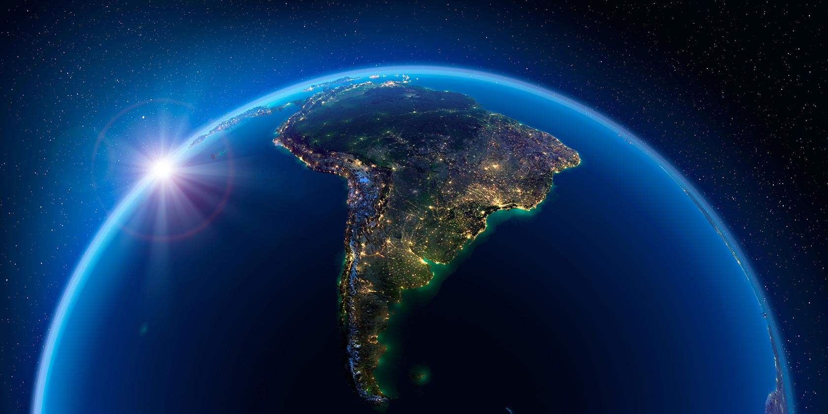
The fast variation of the ionosphere’s density, called scintillation, is unpredictable. Scintillation can occur worldwide, but is often concentrated along the geomagnetic equator in areas like South America and Southeast Asia.
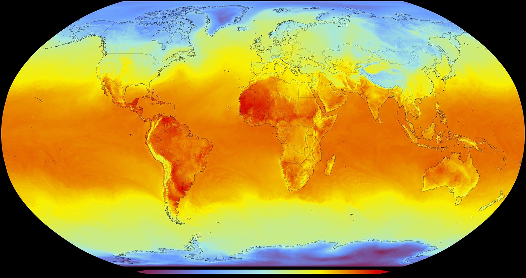
Scintillation can occur daily, frequently in the evenings, and also increases during spring and fall equinoxes. Activity is also tied to the Sun’s own cycles that occur every 11 years – as we enter solar cycle 25, we are seeing an increase of solar activity and ionospheric activity that results in positioning errors due to scintillation being stronger and more frequent. Regardless of the cause of scintillation, worldwide users of GNSS report positioning challenges resulting from ionospheric interference.
A satellite signal is broadcast at a specific frequency and speed with data encoded into its radio waves. As it travels through the ionosphere, these waves are refracted or diffracted, which affects the radio waves’ speed, wavelength and direction. GNSS receivers on Earth may have intermittent reception of signals, incorporate data with incorrect calculations from timing delays, or lose tracking of satellites altogether.
When operations rely on GNSS positioning, scintillation can result in significant working delays, hazardous risks and operational downtime.
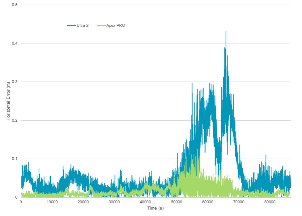
For operations that must continue 24/7/365 and through periods when scintillation is more frequent, ionospheric effects can cause large positioning errors, like those seen in the above graph.
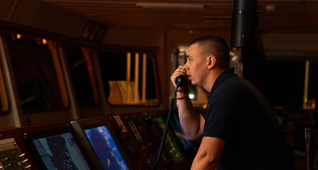
GNSS is vital for operations at sea, particularly when offshore, where there are no landmarks to navigate by. Nearshore applications like dredging, port operations and hydrographic survey rely on precise GNSS positioning for efficient operations and the safety of vessels and crew. For offshore applications like dynamic positioning, seismic exploration and windfarm construction, GNSS becomes even more imperative for mitigating risk to the environment and all onboard. During elevated ionospheric activity, operations must entirely stop to maintain safety standards. This downtime can be costly, but safety comes first.
While there are different methods to reduce the impact of ionospheric errors, leveraging a combination of different solutions creates the most redundant system. Using GNSS correction services like precise point positioning (PPP), tracking resiliency tools and additional sensors can help strengthen a GNSS positioning system against scintillation.
As the ionosphere becomes more active in solar cycle 25, it’s vital to understand these effects in order to mitigate the impact on applications and end-users. There are many resources available to learn about scintillation, other effects that cause positioning errors, and how to build system resiliency against them.
Continue learning about space weather and its impact on GNSS in this webinar from Hexagon’s Autonomy & Positioning division and Inside GNSS.
Get first access to news or releases about scintillation.
Contact sales for product and service inquiries.
Contact support to speak with an expert technician available 24/7.